

Join Us
Join Us


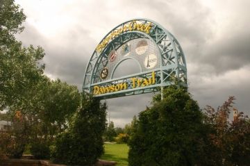
Dawson Trail is a year-round community walking path connecting various parks and areas of the community together. The pathway is a 4.5 kilometre route used by walkers, joggers, bikers, roller bladders and, even, golf carts in the summer and cross country skiers and snowshoers in the winter months.
The paved pathway follows the banks of Dawson Creek and is consistently surrounded by green space. Starting from the main trailhead entrance at the corner of 8th Street and 110 Avenue the trail first connects to Kin Park, then links to Peace Park, Barbaree Park, Chamberlain Park and finishes with Rotary Park.
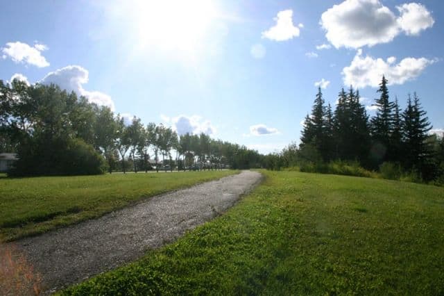
The trail is a good opportunity to view the various park-like settings located in the community of Dawson Creek, British Columbia. Come enjoy the parks at your own pace as the easy grade trail is very well maintained. The experience is, even more, enjoyed packing a lunch as there are picnic tables and sitting benches on the Dawson Trail. Some viewing benches are located in the parks, others along the trail. Some picnic tables rest under trees while others front flower gardens.
Address:
