
Join Us
Join Us


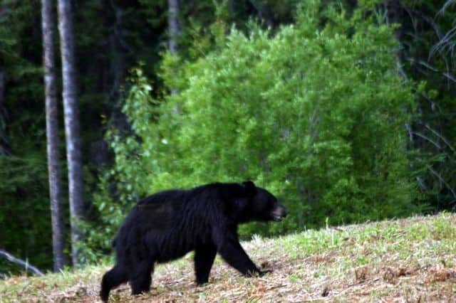
The Alaska Highway is divided into three sections. The first section to this historic driving route travels from " Mile 0" in Dawson Creek, BC to Fort Nelson, British Columbia, Canada . It is a total distance of 482 kilometres (300 miles). It is a forested route with rolling hills, mountain views and possible wildlife sightings.
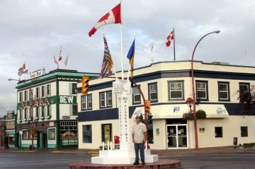
"Mile O" of the Alaska Hwy is identified by a historic cairn and milepost located in the middle of an intersection in the downtown centre of Dawson Creek, B.C. The cairn is not hard to miss. There are flags flying in the air and there are people crisscrossing the road for pictures with the cairn.
Located along the highway route are small white signs acting as distance markers. The markers are in miles and not in kilometres. The distance markers are usually located where there are highway pull outs, rest stops, viewpoints, historic sites and points of interest.
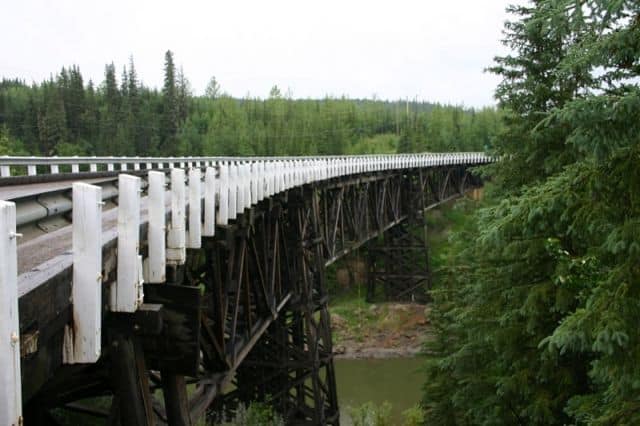
The first point of interest along this section of the Alaska Highway is located at "Mile 21". At "Mile 21" is a historic wooden curved bridge - the Kiskatinaw Bridge. It is located a few kilometres off the the highway on an old section of the Alaska Highway. The timber bridge is 162 metres long and was built on a corner of the highway extending out over a canyon. There is a park located nearby named the Kiskatinaw Park.
At "Mile 47" is the community of Fort St. John, BC. The last community along this section of the route with a large selection of major services before reaching Fort Nelson, BC which is 250+ miles away. Fort St. John was home too many when construction of the Alaska Highway was in progress.
At "Mile 52" is Charlie Lake. Charlie Lake is a recreation campground and day use park. Back in the day of building the Alaska Highway Charlie Lake was a major distribution point for workers and building materials.
Suicide Hill is located at "Mile 148". One of the biggest obstacles to overcome was Suicide Hill when constructing this section of the Alaska Highway. The hill took some lives and it was a treacherous climb back in the day.
Fort Nelson, British Columbia is an oil and gas community located at "Mile 300" on the Alaska Highway. The community enjoys many services like accommodations, restaurants, banks, grocery stores, repair shops, laundromats, internet and more.
From Fort Nelson travelers embark on the second leg of the Alaska Highway towards Watson Lake in the Yukon Territories.
Address:
