
Join Us
Join Us


Yukon River Loop Trail is a popular recreation route located in the community of Whitehorse, Yukon Territory, Canada. The trail provides great views of the Yukon River (Schwatka Lake) and acts as a connector route for accessing some of the local attractions and other recreation trails in the region.
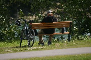
 The Yukon River Loop Trail is a very well used recreation trail. Popular for hiking, dog walking, mountain biking and sightseeing. During the winter months the snow covered trail becomes a cross country ski route.
The 15 kilometre loop trail explores along the east and west banks of the Yukon River. The time taken to complete the route should take no longer than 3-5 hours. Time for completion depends on which local viewpoints you stop at and for how long.
The west side of the trail follows a single-track dirt path through a forest of aspen and spruce trees following along a riverbank. The east side of the trail follows a dirt path and paved roads. There is a section of the trail which follows the paved Miles Canyon Road to a lookout point with interpretive signs.
The river route is connected by two footbridges - one at each end. The Rotary Footbridge connects the east and west riverbanks on the north end and the Miles Canyon Footbridge connects the trails on the south end. Both cross the Yukon River.
The north end of the circle route starts at the Rotary Bridge near the fish ladders on the Yukon River. here, the Yukon River Loop Trail connects to the Millennium Trail and is very close to the trailheads of the Chadburn Lake, Chedden Lake and Hidden Lakes Trails.
The south end of the Yukon Loop Trail starts at Miles Canyon. A popular local sightseeing attraction with a footbridge crossing the Yukon River. From Miles Canyon the Yukon River Loop Trail connects to the Chadburn Lake Cross Country Ski Trails, the Schwatka Lake Picnic Day Use Area and a trail leading upstream to the historic gold rush town of Canyon City.
Address:
