


Join Us
Join Us


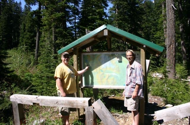
Madelay Lake Trail located near Whistler, BC, Canada is a high elevation hiking trail exploring the alpine mountains surrounded by thick forests, waterfalls and wildlife. The single track trail follows along an earthy path navigating many switchbacks, side stepping over tree roots, deadfall tress and exposed boulders.
From the Madelay Trailhead the route follows a single track trail for 4.5 kilometres to the Hanging Tree wilderness campsite. Here there are pit toilets and tent pads. Continue for another 2 kilometres and the trail connects to Rainbow Lake.
The total elevation gain of this hike is 500 metres. Because of the high elevation of this hiking trail some sections may be muddy and depending on the season there may be snow still on the ground.
Whistler, BC's Madelay Trail connects to the Rainbow Trail which continues down the mountain and ends on West Side Road. The Madelay - Rainbow Trail is a combination of the two trails adding up to 16 kilometres of blissful wilderness hiking. It is better to start hiking the entire trail from the Madelay Lake Trailhead as the elevation drops 1000 metres (3250 feet) to the Rainbow Trailhead.
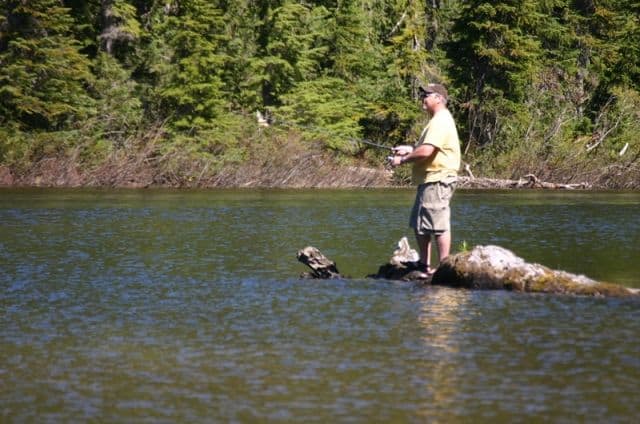
Madelay Lake is a small lake that is just pass the trailhead entrance. The lake is not on the trail but further up the gravel road. The road to the lake and trailhead is a rough, steep gravel road and should only be attempted with a 4x4 vehicle or a dirt bike.
Madelay Lake provides good fishing for rainbow trout up to 30 cm (12 inches). Fishing in the lake is relatively good because the lake is so difficult to access. It is best to pack in a canoe or belly-boat as there is little space for shore fishing. There is a car top boat launch on the north end of the lake.
Address:
