


Join Us
Join Us


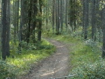
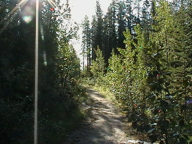
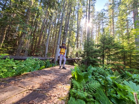
The Skyline Trail is a long haul, overnight recreation trail exploring mountain passes of the Maligne Mountain Range near the community of Jasper, Alberta, Canada in the Jasper National Park.
The 44 kilometre one-way trail has a north and south trailhead entrance. The north trailhead entrance is located near Malign Canyon and the south entrance is located in the Maligne Lake Day Use Area. Most begin at the south end so they finish closer to Jasper, Alberta townsite.
The Skyline Trail is considered a challenging adventure on many fronts. The trail is challenging because of the ongoing up and down elevation gains, the 44 kilometre length and the always changing mountain weather conditions. Many take 2-4 days to enjoy the adventure.
Preparation skills are very important on all overnight adventures when exploring in the Jasper National Park. The Skyline Trail is no exception. Good foot wear, dressing in layers, rain gear, warm head gear, first aid, sunglasses, gps, plenty of water and properly working equipment are just a few of the must haves in the mountains.
Most of the trail is hiking above the tree line. It is very common to be hiking in the snow while exploring some sections of the trail in July - especially between Curator Mountain and Amber Mountain. And it is very possible you may encounter wildlife sightings on the mountains as well like mountain goats, bighorn sheep and bear.
The Skyline Trail is more than a summer backpacking route. It is also a horseback riding and mountain biking route. However, it is only the first 9 kilometres at the north end of the trail that permits mountain biking. During the winter the entire trail becomes a cross country ski route.
There are many mountains along this route providing some spectacular scenery. Some of the mountains viewed on the route include Mount Tekarra (2693 metres), Centre Mountain (2700 metres), The Notch on Amber Mountain (2510 metres), Curator Mountain (2674 metres) and Signal Mountain (2311 metres) where there is an abandoned lookout.
Along the mountain route there are many other trails which connect to the Skyline Trail providing access to other areas in the Jasper National Park including the Valley of Five Lakes, Watchtower Lake, Medicine Lake, Wabasso Lakes, the Snowbowl, Hardisty Pass and Lorraine Lake.
Located along the trail are many wilderness campsites starting at the north end of the trail with the Signal Camp, Tekarra Camp, Curator Camp, Snowbowl Camp, Shovelpass Camp and finishing with the Evelyn Lake Camp on the south end of the route.
Wilderness campsites provide a tenting area, food cache, pit toilets and fire pits. All backpacking and wilderness camping explorers must follow a pack out what you pack in policy - leave no trace behind. Let others enjoy what you left behind.
From the town of Jasper, Alberta, Canada it is 48 kilometres to Maligne Lake Day Use Area. From Main Street (Connaught Drive) travel east, crossing over the railway tracks before merging with Highway #16. Just ahead on Highway #16, on your right, is the exit road to Maligne Lake and Maligne Canyon. Take the exit, cross over a bridge, and take a left and follow the Maligne Lake Road south to the large parking lot where you will find the trailhead.
Address:
