


Join Us
Join Us


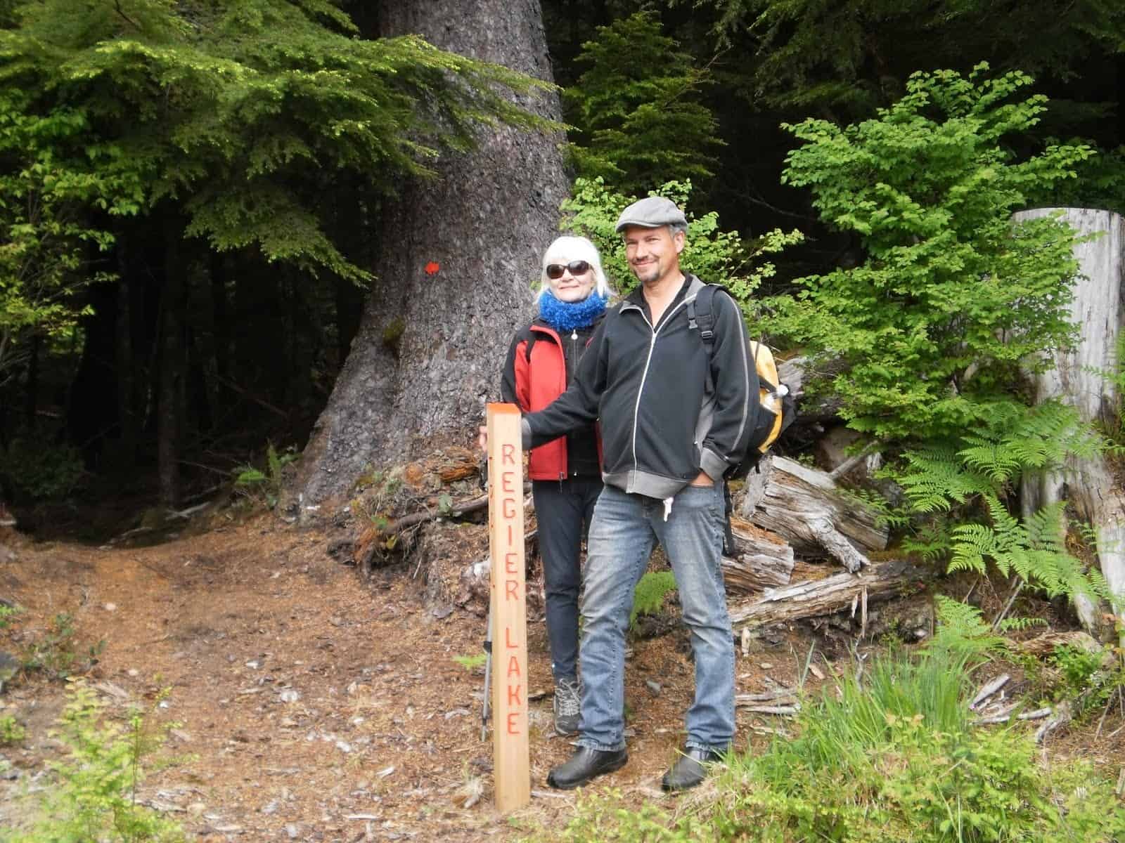
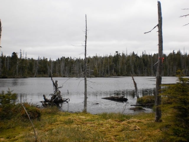
Regier Lake Trail is a 1.8km out and back trail located in the Village of Queen Charlotte. To access the trail, drive up 3rd avenue on the village’s eastern end. Once atop the hill, you will have to drive up a narrow residential dirt road to access the trailhead.
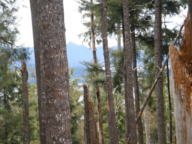
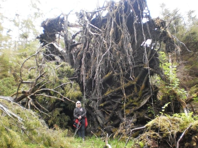
The trail is steep and gains approximately 1,115 feet of elevation; however, your efforts are rewarded by nice views of the inlet as well as large cedar trees along the route. The trail is well marked with ribbon and arrows, but is quite rough. Once you reach the bog, the ground is nice and flat until you reach the lake.
In the late spring look for calypso orchids (fairy slipper), single delight, miners’ lettuce, cleavers, skunk cabbage and ground dogwood in the forest; and in the muskeg there is a huge variety of bog plants, including bog laurel, Labrador tea, cloudberry, bog rosemary and heather.
It is important to allow plenty of daylight for this trip because the trail does take approximately 1.5 hours to complete each way.
Address:
