
Join Us
Join Us


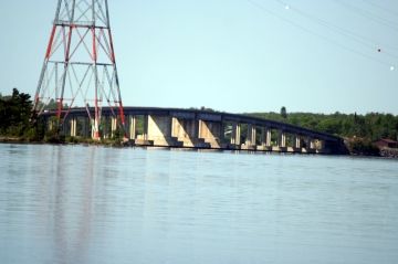
Noden Causeway is a day drive destination and transportation route crossing many bridges on Highway #11. The causeway is considered an engineering marvel and is a popular sightseeing destination.
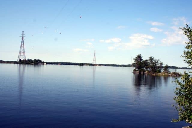
The causeway covers a 5.6 kilometre (3.5 mile) stretch of highway located 7 kilometres east of Fort Frances, Ontario, Canada.
The Noden Causeway is a row of bridges connecting from one small island to another while crossing over the Rainy River.
At its highest point the bridge measures 12 metres (40 feet) above the river providing some beautiful views of the waterway, islands and birds.
While on the Noden Causeway there are a few rest stops with day use picnic areas and historical plaques located on some of the islands.
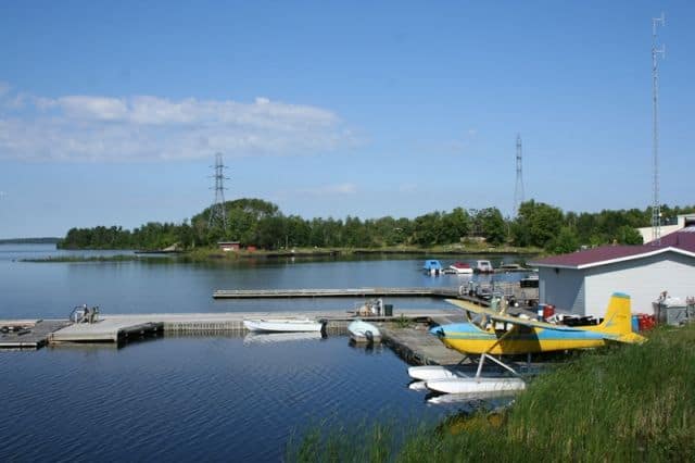
Along the route to the causeway one will pass many floatplanes and docks.
The bridge system was the last section of highway put into place when completing the 1700+ kilometre (1056 mi.) long transportation route connecting Sunset Country to Toronto. The causeway was completed in 1965.
Address:
