Canada Gallery / British Columbia / Okanagan Valley photo gallery - British Columbia, Canada travel, tourism / Oliver 32
South Okanagan Community

Eagle Bluff
3 photos
International Bicycling Hiking Society Path
3 photos
Indian Head
4 photos
Mt. Baldy
2 photos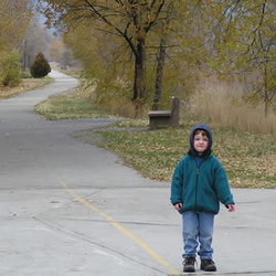
Kettle Valley Railway
4 photos
Burnell-Sawmill Lake
18 photos
Triangle Park
3 photos

 Orchards
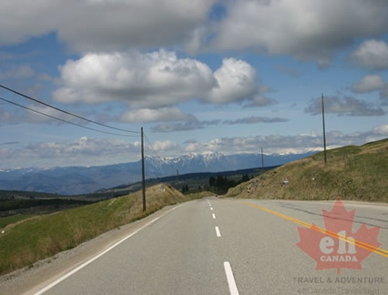 Hwy #97
 Old Church
 EH Tourism on Location
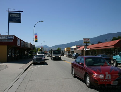 Downtown Oliver
 Orchards
 Fields of Oliver
 Fairview Historic Site
 Reflections
 Water Canal
 Old Barn
 Lions Park
 Airport
 Desert Hills
 Vineyards in the Distance