Canada Gallery / British Columbia / Kootenays photo gallery - British Columbia, Canada travel, tourism / Rossland / Old Cascade Highway 14
Historic Backcountry Road Gravel road highway connecting Rossland with Christina Lake

 Cascade Summit
 Gravel Road Highway
 Remains of Mining
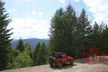 Cascade Summit near Rossland
 Backcountry Highway
 Highway Switchbacks
 Driving along the Ridge
 Mountain Views
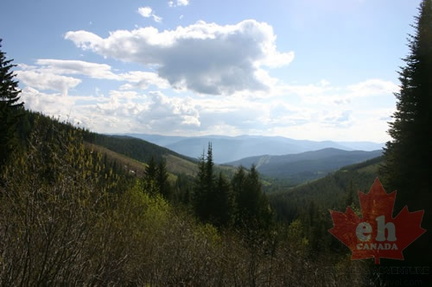 Valley Views
 Valley Views
 Mountains and Valleys
 River Valley
 Santa Rosa Recreation Site
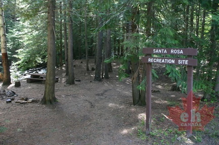 Road Sign