Canada Gallery / British Columbia / Kootenays photo gallery - British Columbia, Canada travel, tourism / Rossland / Old Cascade Highway 14
Historic Backcountry Road Gravel road highway connecting Rossland with Christina Lake

 Road Sign
1625 hits
Entrance to Santa Rosa Recreation Site Campsite on Cascade Highway near Santa Rosa Summit. Santa Rosa Recreation Site
1545 hits
Picnic table by river Campsite near Santa Rosa Summit River Valley
1434 hits
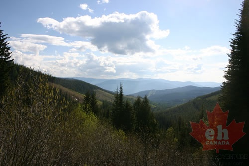
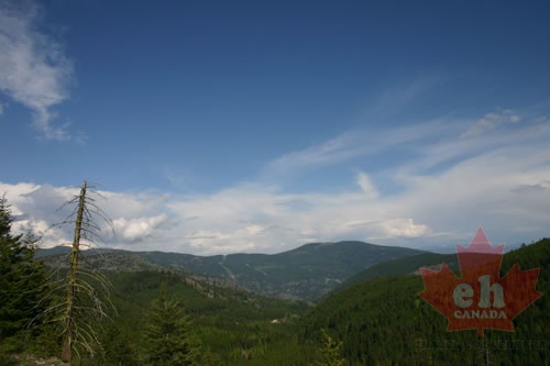
Valley views from highway Views from Cascade Hwy Mountains and Valleys
1434 hits
Gravel road views Researching while driving the Cascade Hwy Valley Views
1456 hits
Views from the gravel highway Cascade Highway views Valley Views
1289 hits
Traveling along gravel highways Valley views from gravel highway Mountain Views
1268 hits
Researching from the summits Mountain views from gravel roads Driving along the Ridge
1406 hits
Highway takes us along a mountain ridge Mountain views on Cascade Hwy Highway Switchbacks
1536 hits
Highway on the mountains Gravel highway in the mountains Backcountry Highway
1544 hits
Cascade Highway in the mountains Road on a ridge Cascade Summit near Rossland
1871 hits
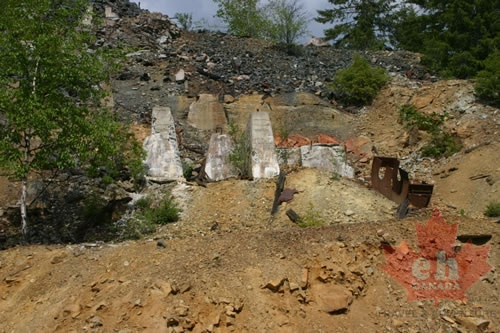
BCeh.com researching the highway Researching from Rossland to Christina Lake, BC Remains of Mining
1554 hits
History on the highway Some of the history on the Cascade Highway Gravel Road Highway
1497 hits
Driving in the trees to the summit Gravel highway near Rossland, BC Cascade Summit
1565 hits
Gravel road highway views Gravel Highway connecting Rossland and Christina Lake