

Join Us
Join Us


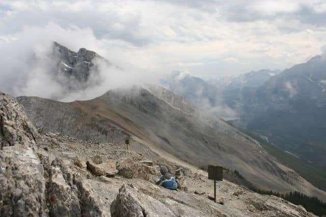
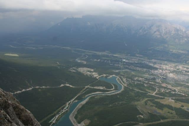
In the Bow Valley Wildland Provincial Park near Canmore, Alberta is an elevation hiking trail leading to Miner's Peak called the Ha Ling Trail. From the mountain peak hikers will enjoy outstanding views of the community of Canmore, the Bow Valley and the Grassi Lakes area.
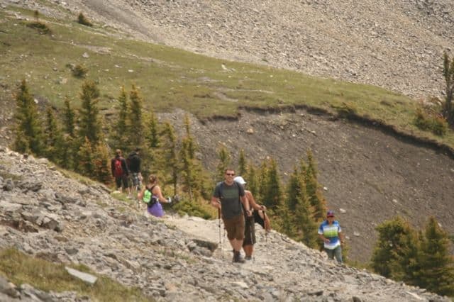
 The entire mountain trail takes about 4-5 hours to complete depending on the groups fitness levels. The 2.8 kilometre one-way Ha Ling Trail is considered a challenging hike with an elevation gain of 700 metres from trailhead to peak. No easy task as the route is all up hill and includes some challenging terrain.
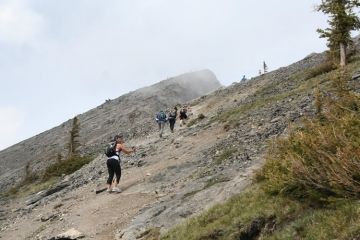
The Ha Ling Trail follows along a gravel access road, a single track trail and crosses shale rock slides to reach the mountain peak. Most of the trail is designed with a series of swicthbacks (trail ascents and descents, one after the other, zigzagging up the mountain).
The Ha Ling Trail begins by following a gravel access road. Soon into the hike the road becomes a single track hiking trail. The trail then enters the forest. From this point on the trail continues to explore up the mid mountain slopes until it reaches the tree line.
Once the trail is above the tree line the trail changes from gravel to shale rocks. At the base of the peak the switchbacks are visible leading through the shale rock slide to the viewpoint at the peak.
Once at the peak, hikers are openly exposed to changing weather conditions. It is important to dress in layers, even on sunny days, as the weather up in the clouds can be very cold and windy and always changing.
Address:
