Haida Gwaii Parks and Places
Mayer Lake Picnic Grounds
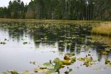
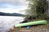
The Mayer Lake Picnic Grounds is an ideal area for swimming, family picnics, relaxing, fishing and launching a boat or canoe
Read moreTlell
Kumdis River Trail
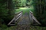
The Kumdis River Trail is located north east of Port Clements, adjacent the Kumdis River Bridge.
Read moreHighway 16
Port Clements
Influencer:
Balance Rock
There are some who refer to Balance Rock as the centre of spirituality. It is one of the many natural spiritual forces at work on Haida Gwaii. The best time to view the rock is at low tide.
Read moreHwy 16
Skidegate
Donald Henkel Memorial Trail
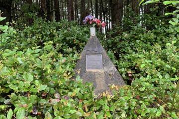
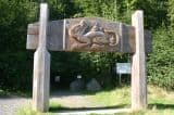
This extremely short trail is located approximately 2 kilometers south of Port Clements, along Highway 16. Blink and you'll miss it!
Read moreHighway 16
Port Clements
Influencer:
Delkatla Wildlife Sanctuary
The bird sanctuary draws many to the west coast to view the 140 or so bird species who visit yearly. Seasons play a big part as birds are migratory. Spring, summer, fall and winter all bring different wildlife guests to the Delkatla Wildlife Sanctuary.
Read moreTrumpeter Drive
Masset
Skidegate Lake
One of the larger accessible fresh water lakes on Moresby Island in the Haida Gwaii Islands Archipelago. The lake, as well as Mosquito Lake, is a popular destination for fishing, canoeing and swimming.
Read moreSandspit
Spit Walk Trail
Airport Rd
Sandspit
Influencer:
Spirit Lake Trail
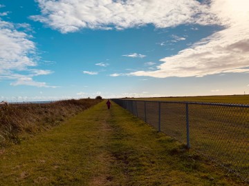
Spirit Lake Trail should take between 1.5 to 2.5 hours to complete. The trail is well maintained and ends with a loop around the lake.
Read morehaida gwaii
Sleeping Beauty Hiking Trail
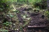
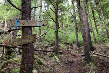
The Sleeping Beauty Trail is the best known rainforest trail in an area of many trails. The trail is very vertical with plenty of opportunity for stair climbing, rope climbing and depending on the seasons, trekking though mud and navigating around wash-outs.
Read moreHonna Road Forestry Service Road
Queen Charlotte City
Grassy Island, Moresby Island
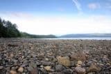
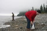
A short, short trail leads from the picnic area to a rocky, pebbled beach. At low tide more of the large rocks become exposed, exposing the beach thus creating more room to walk the rocks while beachcombing.
Read moreSandspit
Secret Cove Trail, Moresby Island
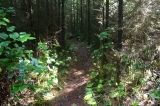
A wilderness trail following a creek through wet, moist forests, passing by thick clumps of ferns and piles of deadfall. The trail is a short, easy grade trail that leads to the coastline and Secret Cove.
Read moreSchool Road
Sandspit
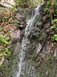
Rock Sitting Creek Waterfall
Balance Rock Rd
Skidegate
Influencer:
Scout Lake Trail
The trail to Scout Lake is something of a hidden gem in the Village of Queen Charlotte because not a lot of people know about it. To access this trail, you must hike to the official terminus of the Charlie Hartie Creek Trail (top of 6th Street, just off 1st Ave)
Read more6th Street
Queen Charlotte
Influencer:
Anvil Trail
The 1 1/2 hour return hike starts opposite the Anvil Trail - Mariners Point Parking Lot found on Hwy 16 south of the Naikoon Park Headquarters. The Anvil Trail parking lot is a treat as it is right on the ocean providing fantastic views of Mariners Point!
Read moreHwy 16
Tlell
Agate Beach, Naikoon Provincial Park
Many arrive at Agate Beach to find agate rock. A hard task for most is to pick an agate rock out from the millions of beautiful coloured rocks spilled over the beach. Agate colour varies too - from a clear-white, to yellowish-amber, greens and red.
Read moreTow Hill Road
Masset
