Haida Gwaii Parks and Places
Mayer Lake Picnic Grounds
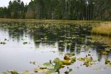
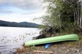
The Mayer Lake Picnic Grounds is an ideal area for swimming, family picnics, relaxing, fishing and launching a boat or canoe
Read moreTlell
Gray Bay, Moresby Island
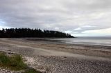
Gray Bay is a recreational campground with a large beach area. The campground onsite enjoys some good size campsites for campers and grassy ones for tenters.
Read moreSchool Road
Sandspit
Kumdis River Trail
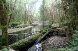
The Kumdis River Trail is located north east of Port Clements, adjacent the Kumdis River Bridge.
Read moreHighway 16
Port Clements
Influencer:
Dover Trail
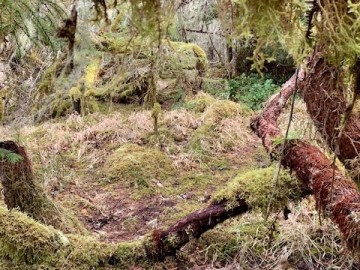
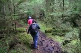
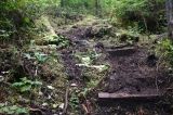
The trail is moist and is made of mostly hard packed earth. In the spring and fall months the trail is muddy and could be washed out in areas near the creek. Much of the trail weaves in and out of the trees, stepping over roots and side stepping deadfall.
Read moreSandspit
Cape Fife Hiking Trail, Naikoon Provincial Park
Backpackers complete the entire one-way 10 km Cape Fife Trail in about 4-6 hours. Many backpackers take even a longer time completing the trail so to enjoy the Argonaut Plain and the many unique west coast bog environments along the way leading to the East Beach shelter at the end of the trail.
Read moreTow Hill Road
Masset
Agate Beach, Naikoon Provincial Park
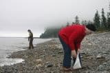
Many arrive at Agate Beach to find agate rock. A hard task for most is to pick an agate rock out from the millions of beautiful coloured rocks spilled over the beach. Agate colour varies too - from a clear-white, to yellowish-amber, greens and red.
Read moreTow Hill Road
Masset
Skidegate Lake
One of the larger accessible fresh water lakes on Moresby Island in the Haida Gwaii Islands Archipelago. The lake, as well as Mosquito Lake, is a popular destination for fishing, canoeing and swimming.
Read moreSandspit
Golden Spruce Tree Trail
A once tall, vibrant Golden Spruce Tree stood on the banks of the Yakoun River near Port Clements on Graham Island in Haida Gwaii. The tree attracted many visitors to the shores of the Yakoun so to view the magical golden "freak of nature" - The Golden Spruce Tree.
Read moreBayview Ave
Port Clements
Haida Canoe Trail
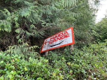
Found along the Port Man Forest Service Road just east of the Mamin River, this is a 400 metre one-way crescent-shaped trail that leads you through the woods and across a creek to an unfinished Haida canoe.
Read morePort Man Forest Service Road
Port Clements
Influencer:
Tow Hill Hiking Trail
The Tow Hill Hiking Trail is a short 15-30 minute trek (approx. 1 km - .6 mi. one way) through coastal forests comprised of ferns, deadfall and salal all the way to the summit of Tow Hill and a lookout deck.
Read moreTow Hill Road
Masset
Old Growth Alley
Old Growth Alley interpretive route is a difficult trail located along Highway 16, a few minutes south of Crow's Nest store
Read moreHighway 16
Tlell
Influencer:
Simpson Tower Trail
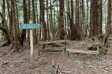
The Simpson Tower Trail is a 1.7km (one-way) out and back route in the Delkatla Nature Sanctuary. It runs parallel to Cemetery Road for much of its length.
Read moreCemetery Rd
Masset, BC
Influencer:
Sleeping Beauty Hiking Trail
The Sleeping Beauty Trail is the best known rainforest trail in an area of many trails. The trail is very vertical with plenty of opportunity for stair climbing, rope climbing and depending on the seasons, trekking though mud and navigating around wash-outs.
Read moreHonna Road Forestry Service Road
Queen Charlotte City
Grassy Island, Moresby Island
A short, short trail leads from the picnic area to a rocky, pebbled beach. At low tide more of the large rocks become exposed, exposing the beach thus creating more room to walk the rocks while beachcombing.
Read moreSandspit
Shingle Bay, Moresby Island
On the north side of Moresby Island, in-between Onward Point and Sandspit Village is a long stretch of sandy beach to explore.
Read moreSandspit
